- Via delle Azalee, 21 Sant’Alessio con Vialone (PV), Italia
- (+39) 0382-538026
- Lun – Ven 8:00 – 17:30
- Area Riservata Clienti
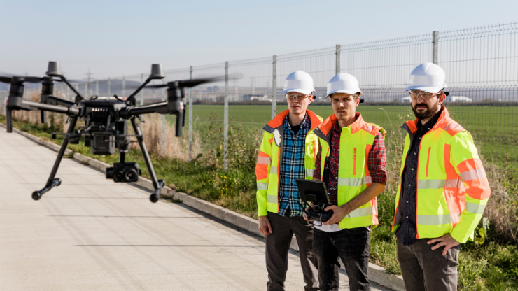
The course aims to provide all the needed information for carrying out remote sensing with the use of RPAS in HSE applications. The essential framework for a correct planning / execution of flights and data collection phases will be provided through the software use and description. An adequate instruction on fire prevention and protection will be provided, as well as on specific risks referred to D.M. 10/3/1998 n. 64 in order to ensure the safety of aircraft and people
Theoretical / Practical aspects
* Theoretical contents and practical sessions will be agreed with the customer based on the duration of the course
Course available on request
RPAS Pilot Certificate (Non-Critical Operations)
Apt Safety Group certificate
Flight Instructors (FI APR) recognized by ENAC and instructors with a multi-year experience in the field of Firefighting, Safety Management and Accidents Prevention
Compila il modulo qui sotto per chiedere informazioni sul corso. Saremo da te appena possibile.
Via delle Azalee, 21
Sant’Alessio con Vialone (PV), Italia
Copyright © 2024. All rights reserved.
